How AprilTags Improve Drone Navigation and Localization

Drones are everywhere today. They assist in agriculture, construction, shooting, and even transporting packages. But there is still one huge problem: How can drones be sure of their position? GPS is useful; however, in certain cases, GPS signals cannot be detected. And that is where April Tags come in.
AR markers are easy-to-use visual cues that enable drones to visualize their location. They act like machine barcodes, helping drones navigate more precisely, even indoors or in areas with limited GPS signals.
We are going to discuss April Tags, their function, and what makes them a breakthrough in drone navigation and localization
What Are April Tags?
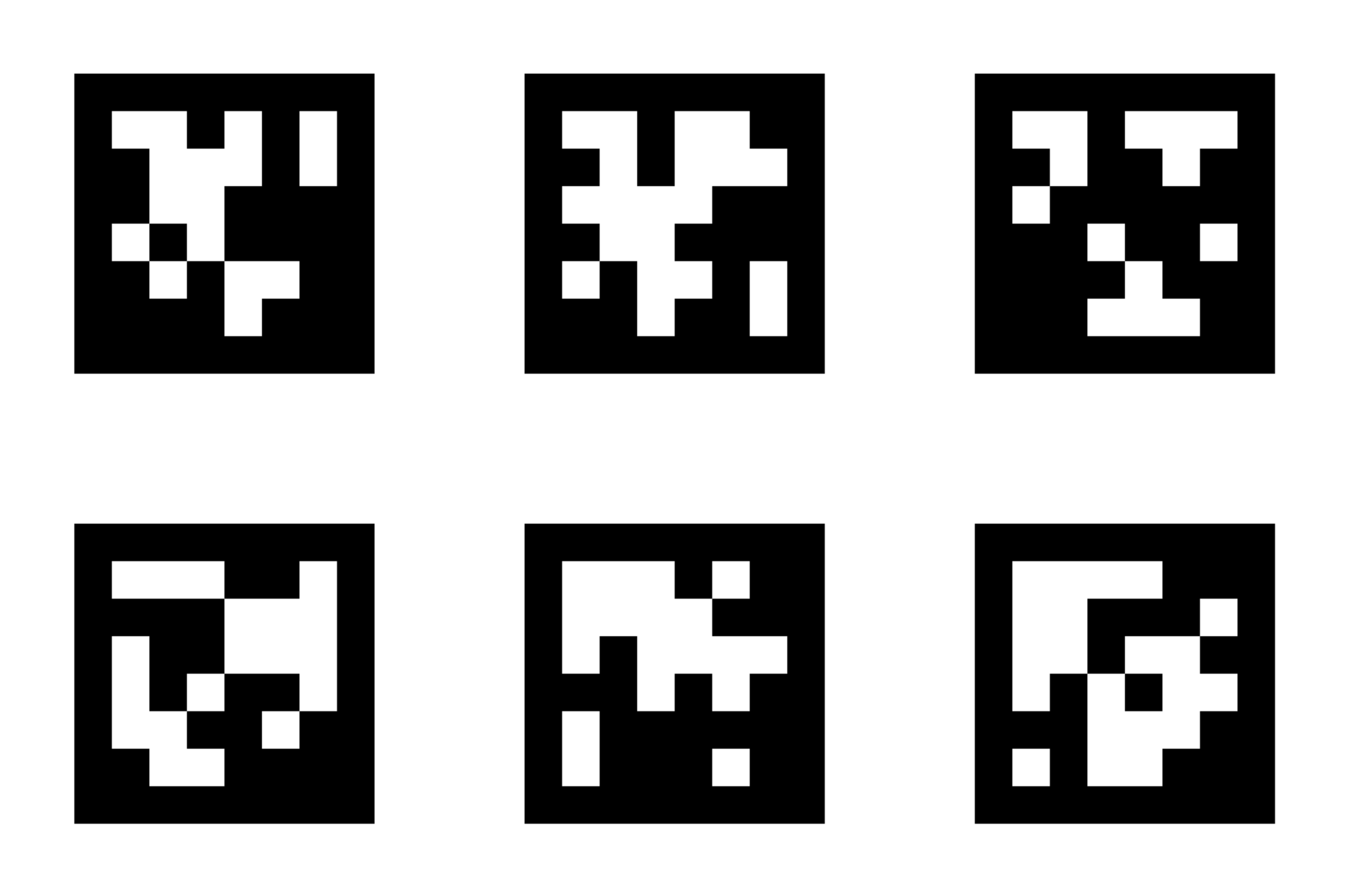
An April Tag is a square tag composed of black-and-white designs. To a human eye, it appears to be a combination of a QR code and a checkerboard. It is a signal that can be tracked by a drone’s camera.
Each tag has a unique pattern. As the camera of a drone views a tag, its software can instantly read it, providing the drone with data about its location, distance, and orientation.
April Tags can be considered drones’ road signs. Similar to how a driver would look at a stop sign, a drone would look at an April Tag to realise its position.
Why Do Drones Need April Tags?
GPS performs well in the open but is not flawless. In urban areas, high-rise buildings obscure signals. Inside buildings, GPS is virtually useless. Another method is needed for drones to remain accurate.
Here’s why April Tags matter:
- Precision indoors – Drones are able to fly safely within a warehouse or a building.
- GPS-denied area support – Areas such as tunnels, forests, and construction sites.
- Trustworthy positioning – Reduced drift and few flight errors.
- Avoids unsafe crashes- Due to the poor quality of navigation data.
With April Tags, cameras, and sensors, drones can better see what is going on around them.
How Do April Tags Work?
It is an easy but effective concept. The drone camera takes images of the surroundings. Upon encountering an April Tag, the software does the following calculations:
- The exact position of the tag
- The range of the drone and the tag.
- The angle between the tag and the drone.
This information is used to tell the drone where it is physically located. Having multiple tags around it, drones are able to move fluently and remain on track.
Setting Up April Tags for Drone Navigation
April Tags are easy to use; however, placement matters. Here’s how it’s usually done:
- Acquire or print April Tags – They are not complicated to make.
- Install them on surfaces such as walls, floors, or ceilings.
- Ensure that they are in view – The camera on the drone should be able to see them.
- Added tag library – The drone software must be able to identify every tag.
Put in the correct environment, the drone is capable of knowing its location whenever it identifies a tag.
Benefits of April Tags in Drone Mapping
April Tags are not only used in navigation. They also enhance mapping and the collection of data. Here are some benefits:
- Increased precision in surveys – Tags are used to match drone images to the real-life coordinates.
- Repetitive flights – Drones are able to go back to the same place with accuracy.
- Automation – Simpler to make drones adhere to routes that humans do not control.
- Flexibility – Can work inside, outside, or in both types of environments.
That is why April Tags are often used in research, warehouses, and on construction sites.
April Tags vs. QR Codes
You may ask: then why not simply use QR codes? Both look similar. The distinction is in the new design and functionality.
- QR codes are human-friendly and are scanned using phones.
- April Tags are designed to enable drones and robots to sense in various directions and speedily.
April Tags are more accurate in poor illumination, tilted vision, or partial visibility, making them more suitable for transporting drones.
Challenges and Limitations
April Tags are not flawless, but they are strong. Some challenges include:
- Visibility problems – In the case of dirty, blocked, and poorly lit tags, drones can miss them.
- Range limits – Cameras have restrictions on the distance at which they will identify tags.
- Installation cost – Numerous tags have to be installed and maintained.
Nevertheless, these are minor limits in comparison to the profits. Many teams employ April Tags complemented with GPS and sensors to achieve optimal performance.
Final Thoughts
April Tags can resemble little squares, yet they are transforming the way in which drones move and think. With eyes to locate their position, drones enhance their navigation, precision, and safety.
These markers can be used in a warehouse, a farm, or a research lab and can offer an easy but effective solution. GPS can never go wrong, but it has its limits. April Tags fill the gap left by GPS.
April Tags are useful for drone navigation and localization and are the key to smarter, safer, and more reliable drone flights in the future.


